This article may contain affiliate / compensated links. For full information, please see our disclaimer here.
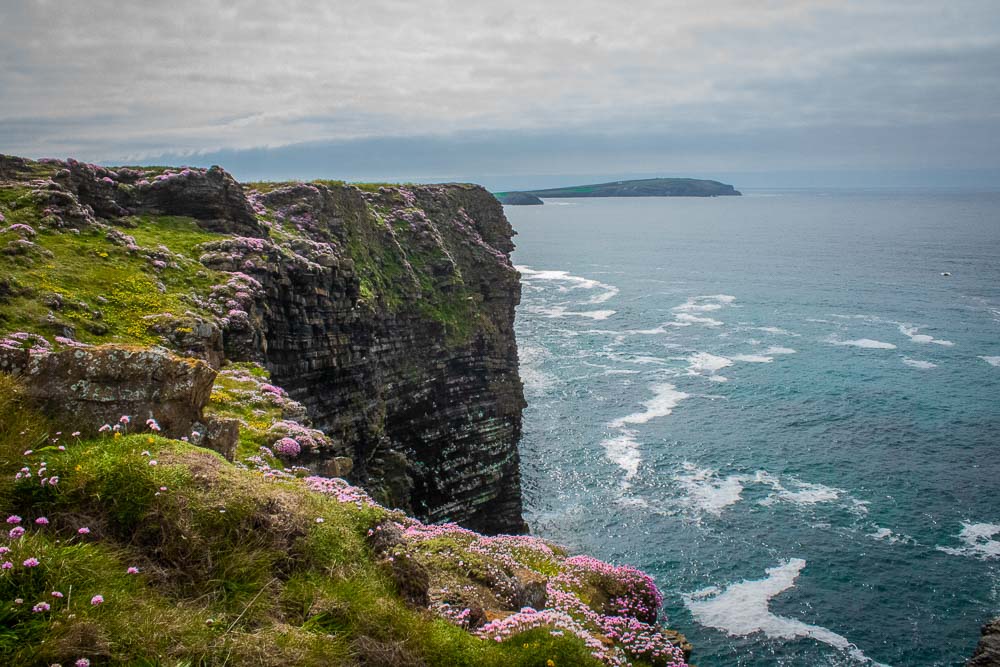
Cornwall offers some of the finest summer hiking in the UK due to its favourable weather and incredible coastal sea paths. One of the best sections of hiking near Padstow is the ‘Seven Bays of Padstow‘, a route connecting seven stunning beaches over 7 miles, following North Cornwalls section of coastal path.
What Is the South West Coastal Path?
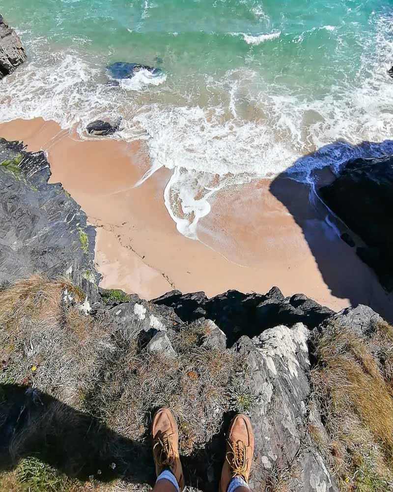
The South West Coastal Path is England’s longest marked footpath and National Trail. This 630 mile footpath will take you all the way from Minehead, Somerset; to Poole Harbour in Dorset; meandering along the coasts of Devon and Cornwall.
Fun fact: The total elevation gain over the entire South West Coastal Path is x4 greater than the height of Mount Everest.
Hiking Near Padstow – Know Before You Go!
Getting There and Back
The Seven Bays of Padstow is a one way route. It is up to you which direction you wish to travel, but I’d recommend beginning the walk from Porthcothan Bay. This means you’ll want to leave you vehicle at Harlyn Bay where you can take a bus to the beginning of the walk. It’s always nicer to finish a hiking route where you left your car (rather than take a bus) as you can leave snacks and extra water there.
Where to Stay in Padstow?
Finding accommodation in Padstow is easy, finding available accommodation can be difficult. The main tourist season for the area is July and August, so accommodation around Padstow can fill up really far in advance.
Choosing the right accommodation near Padstow depends greatly on your budget and your desired proximity to the town. There are many holiday cottages in Padstow with self catering options if you want to be part of the town. If you’d rather a quieter stay, then a campsite near Padstow would help keep the budget down as well as getting you closer to the beach.
There are campsite and holiday lets spread out along the Seven Bays route, the main thing is to get your booking in early.
What Time of Year is Best For Hiking in Cornwall?
As mentioned, July and August are going to be the busiest time of the year. The walk is of course still stunningly beautiful, but the trail and beaches may be crowded. I would recommended heading over during the shoulder season, either April-May or September to avoid crowds. The cooler temperatures make for more comfortable hiking conditions and there is still a chance for sunshine! All the photos in this post were taken in April and May.
What to Bring on a Cornwall Coastal Walk?
This coastal walk will allow you to experience the best hiking near Padstow. For the best experience, it is important to bring the right walking or hiking gear!
- Sturdy footwear
- Waterproof Jacket – you just never know round here!
- Suncream
- Packed lunch and lots of trail snacks
- Plenty of water
- Thermos for colder days
- Quick dry towel (if you fancy a dip!)
- Money for car park / bus / ice cream at Harlyn
Are the Beaches Near Padstow Dog Friendly?
All of the beaches along the Seven Bays of Padstow hike are dog friendly, except for Trevone Bay. No dogs are allowed on the beach of Trevone Bay from 10am – 6pm, July 1 – August 31st. Dogs are allowed on all of the coastal paths, with some areas insisting on leashing due to livestock or nesting birds.
Hiking the Seven Bays of Padstow
Porthcothan Bay
Take the bus from Harlyn to Porthcothan Bay. Once you arrive at the bus stop, follow the path behind the beach, along the grassy dunes and over the bridge to a path on the lefthand side. It will be marked with a sign for Treyarnon.
The water of Porthcothan Bay is very sheltered which makes it the choice spot for swimmers and families. The numerous crooks, crannies and coves make it an ideal location for paddle boarding.
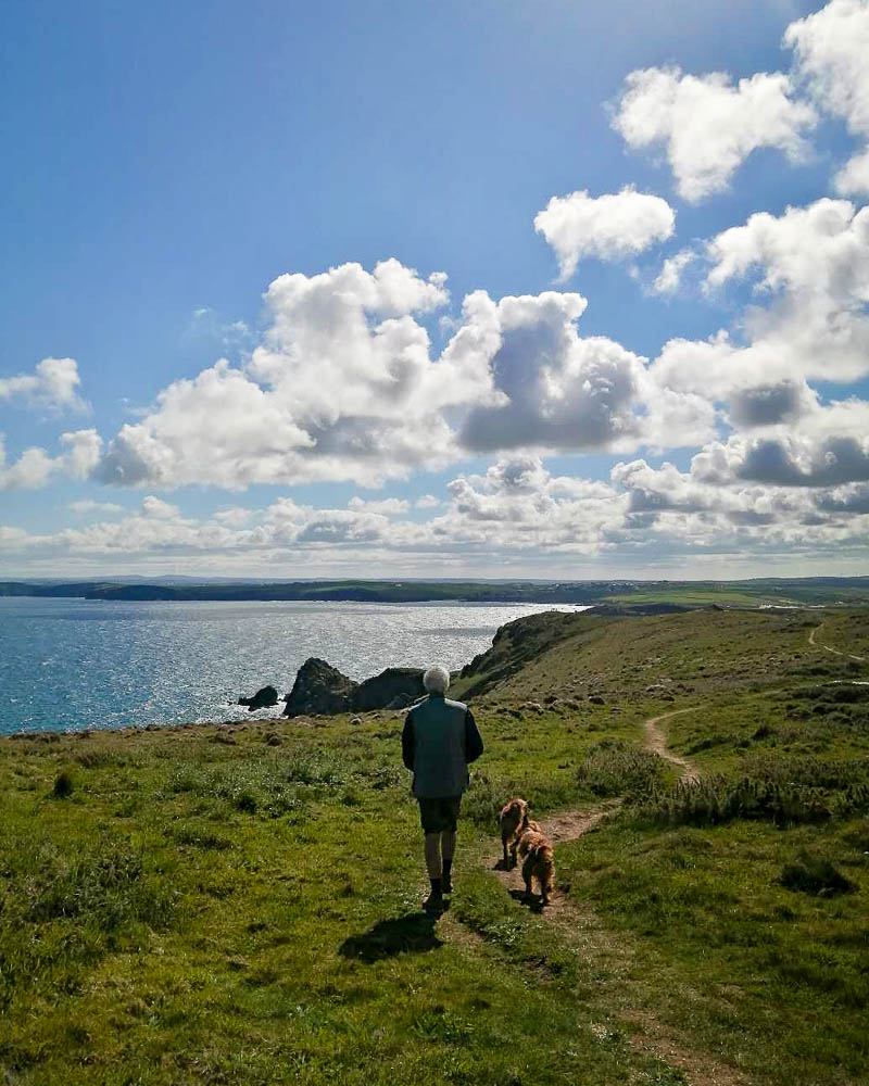
You’ll take the path that leads up the hill, offering a spectacular panorama of the coastline vista. The route is fairly straight forward, sometimes splitting into two separate paths incase you prefer to stay close to the cliff edge or back further. If you are walking with dogs it is highly recommended to keep them on the lead whenever nearing the cliffs edge. There are many nesting sea birds that can become all too tempting for our four legged friends.
This section of the walk is owned by the National Trust. You will find signage when entering nesting areas for the skylarks and corn bunting. Be sure the put your dogs on the lead here too.
Porthcothan Bay to Treyarnon – 2 miles.
Treyarnon
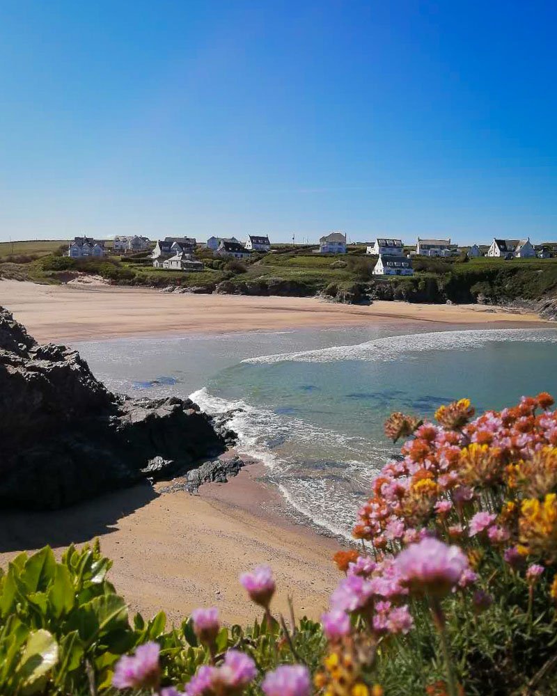
After ambling along and enjoying the coves, you will eventually come across Treyarnon Bay. Treyarnon is a sandy beach area with often shallow waters. It is a popular spot for bodyboarding. Please be aware that there can be a dangerous rip current on the south side.
The cliffs hold numerous rock pools where the keen eyed will find shrimp, crabs and anemones. There is also a ‘swimming pool’ in the cliffs to look out for.
Treyarnon to Constantine Bay – 0.5 miles
Constantine
The start of Constantine beach is just round the corner from Treyarnon. Once you can see the sand, you can divert onto the beach and continue walking along the sand. There is a staircase at the other end that will take you back up and onto the path.
Constantine is a great spot for surfing, however due to the rocky sections, particularly on the southend, it is recommended for more experienced surfers.
If you’d rather not walk along the beach, you can stay on the road to Constantine Bay Carpark where the coastal path will take you back behind the high dunes and towards its sister beach, Booby’s Bay – which is separated by a small outcrop of rocks.
Constantine Bay to Booby’s Bay 0.5 miles
Booby’s Bay
Named after the ‘booby’ seabird that can be seen in the area.
During the low tide, advanced surfers can take advantage of the breaks here whilst avoiding the rocks. This is only possible during certain times of the tide cycle, so you will not always see people here.
When the tide is out, a shipwreck becomes exposed on the beach. This is the wreck of German ship SV Carl, which was impounded in Cardiff when the First World War broke out. In 1917, the ship was being towed to London for salvage, but it broke free in a storm and became stuck on the rocks. Further attempts to get her off the rocks also failed, leaving her wrecked. Only the anchor was visible right up until a large storm in 2014 removed almost a metre of sand from the beach. Now most of the hull is fully visible during a low tide.


From Booby’s Bay, you have two options. Either the direct route to Mother Ivey’s Bay, which cuts straight across to the east and is much quicker.
Alternatively, take the scenic route up to the headland to see the Trevose Head lighthouse and a closer look of the RNLI Padstow Lifeboat Station.
The rocks just over 1km from Trevose Head, named The Quies, are the cause of many shipwrecks – hence the lighthouse. One of which was the cargo ship Runswick in 1918. The ship was struck with a torpedo from a German U-Boat. Miraculously, it didn’t sink. However, it had to be towed to a port for repairs. The towlines broke off and the Runswick drifted into The Quies and sank. It is now the home of many species of sea life.
Following round, you will eventually come across the impressive RNLI Padstow Lifeboat Station, built in 2006 and home to the Spirit of Padstow lifeboat.
Booby’s Bay to Mother Ivey’s Bay – direct 0.8 or coastal route 2 miles

Mother Ivey’s Bay
Mother Ivey’s is named after a white witch. The story goes, that the witch cursed the land after a fishing family refused to share their catch with the starving people of Padstow. Instead, they used the fish as fertiliser for their fields. There has apparently been reported strange deaths of people that have since dug in those fields…
The coastal path follows along the cliff edge, with Mother Ivey’s Bay Holiday Park on your right hand side. As you walk along you will find beach access to get down and take in the smooth sands and shelter from the wind.
Continue round the headland until you come across the large beach which is Harlyn Bay.
Mother Ivey’s Bay to Harlyn Bay – 0.5 miles

Harlyn Bay
Harlyn Bay is a long stretch of beach that is well suited for families and beginner to intimidate surfers.
During the summer months there is an ice cream truck and a cafe, as well as Harlyn Surf School. When the tides out, the beach is spacious with plenty of rock pools to explore. Be warned, the tide comes in fast!
For those that have really enjoyed this wonderful Cornish hike and maybe walked slower than expected, stopped off at a few beaches or spent lots of time taking photos… you’re back at the carpark so have the option of calling it here.
If not… onwards to Trevone!
Harlyn Bay to Trevone Bay – 1.5 miles
Trevone Bay
From Harlyn Beach, walk towards the car park and you will see the footpath that continues along the coast. Follow it all the way along for 15 or so minutes until you reach the village of Trevone. Here you can get a well deserved tea or coffee from the Trevone Beach Cafe, or find the Well Parc Hotel, the only pub in Trevone. The pub is slightly inland, passed the church.
An impressive feature of Trevone is the sinkhole, found just passed the village following along the coastal path. This 80ft deep hole was formed when a sea cave collapse.
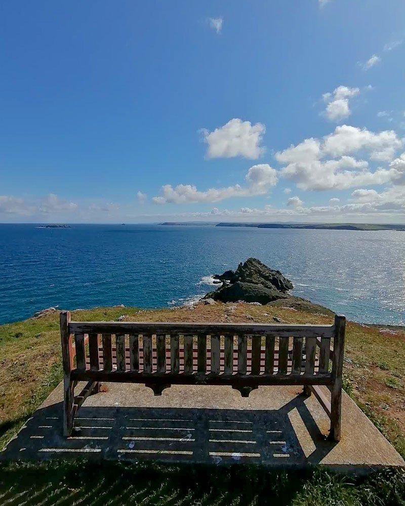
Finally, make your way to the nearest sea facing bench and have a seat. Take in the spectacular views after completing one of the best hikes in Cornwall!

Head over to the Adventure Report for more similar articles, helping you to create the most enjoyable experiences when out in nature!

